Route 161 Traffic Study Draws Mixed Response from East Lyme Residents

At a public meeting on April 27, 2023, East Lyme residents discussed options for alleviating traffic congestion and improving pedestrian and bike safety along a 3.7-mile section of Route 161. (Cate Hewitt / CT Examiner)

Share

TwitterFacebookCopy LinkPrintEmail

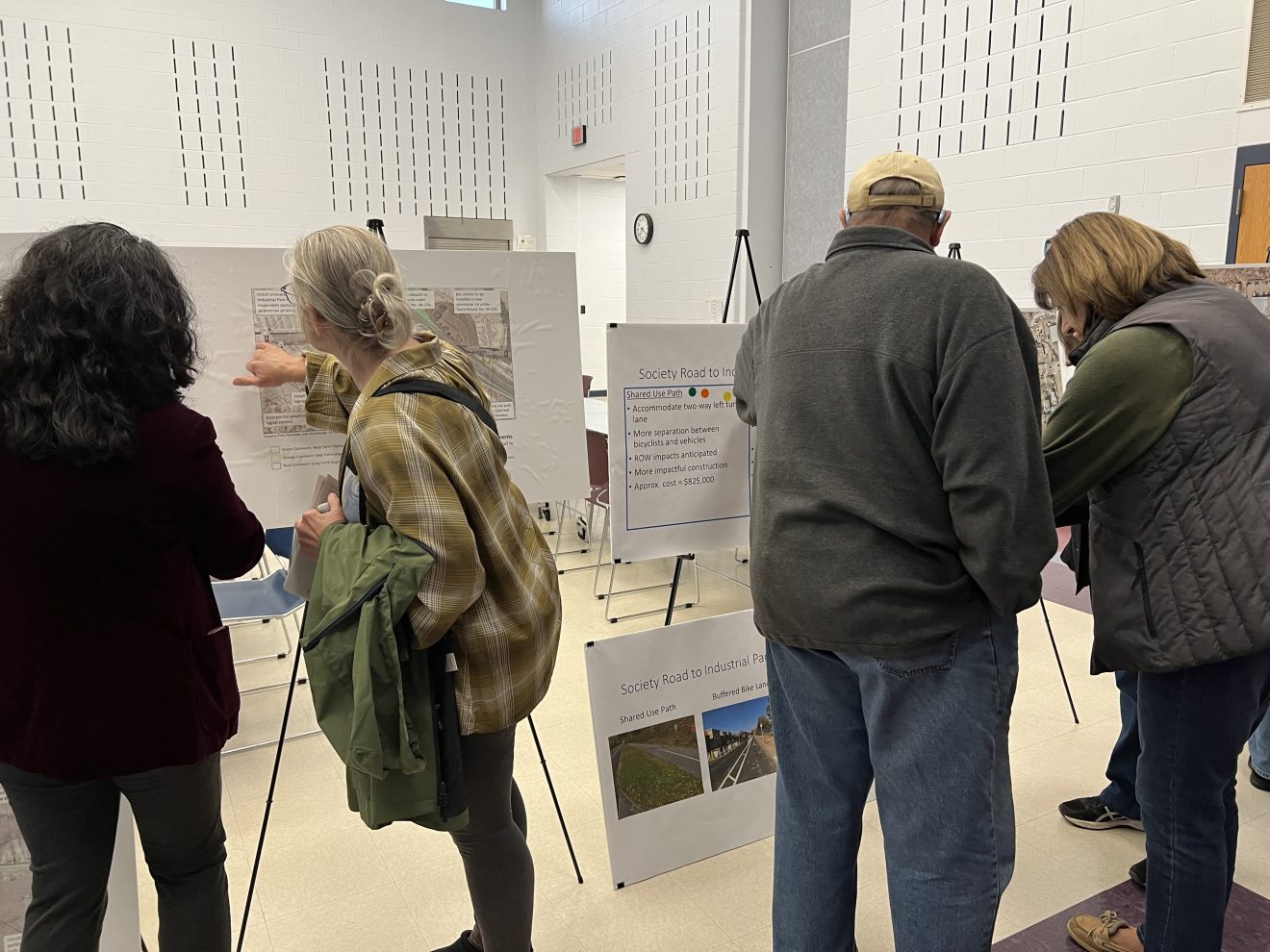
EAST LYME — Behind the scenes of the three-year project to reconstruct Interstate 95’s Exit 74, a study of the exit’s intersecting road – Route 161 – is underway, with the goal of alleviating traffic congestion and increasing pedestrian and bike safety.

The study covers a 3.7-mile segment of Route 161, starting at Route 156, or Main Street, in Niantic, and ending at East Lyme High School. The route, called Pennsylvania Avenue in Niantic and Flanders Road in Flanders, includes a mix of small businesses, residences, a pond, shopping centers, the I-95 Exit 74 interchange and the high school.

The Southeastern Connecticut Council of Governments hired Beta Group, Inc., an engineering firm, to conduct the 16-month study of the corridor in 2022. The preliminary report examined existing and forecasted conditions and was presented at a public meeting in October, where residents provided feedback. 

During a Thursday public meeting, Joseph Rimiller, senior traffic engineer at Beta Group, presented the 161 Corridor Study to about 40 residents at the middle school. 

The study included potential solutions for high-traffic congestion areas and ways to improve pedestrian and bicycle safety and mobility – ideas that received mixed responses. 

One of the options for alleviating traffic congestion at peak travel hours was a roundabout that would replace the stoplight at East Pattagansett Road. 

“Studies have been done looking at safety benefits of replacing the traffic signal with a roundabout and found that there were 49 percent fewer total crashes, as well as 81 percent fewer crashes involving severe injury,” Rimiller told the audience. 

He said the roundabout, which would cost about $1.76 million, would reduce auto speeds to 20 to 25 miles per hour and include traffic calming “islands” and landscaping.  

The other option was an “adaptive” traffic light, costing $225,000, that he said would provide more flexibility to reduce traffic congestion and include a pedestrian walk signal. 

But residents who live along the route said traffic congestion was sometimes so heavy that simply leaving their own driveways was a challenge. 

“There’s a lot of more traffic and it’s hard to get out of the driveway,” said Ken Cavanaugh, who grew up in a house on Route 161 that his parents bought in 1950. 

“What happens now is the traffic light turns red at [East] Pattagansett Road – and when that turns red, I can’t get out of my driveway. Otherwise the traffic just continuously goes by.”

Cavanaugh and other residents said the light provides needed gaps in traffic flow and that a roundabout would cause traffic to continually flow, worsening the problem. 

A number of residents also expressed concerns about speeding cars and the lack of safety for bicyclists. 

One resident, who did not share her name, said she had purchased a special bike for riding to the beach but has not yet made the trip because of safety concerns. She said she wasn’t sure she would use bike paths even if they were available. 

“I moved here 17 years ago and I live by the high school. I’ve never ridden down to the beach. I’m scared to death to ride it. People are flying down Flanders Road, all the way down to the beach. I don’t even think I’d ride on a path. There’s too much traffic, the speed’s too fast,” she said. 

Rimiller presented options of paved sidewalks for pedestrians and separate “buffered bike lanes” that would be striped areas along the side of the road. He also presented “shared use paths,” similar to sidewalks but wider, to be used by both bicyclists and pedestrians.  

Providing consistent bike lanes along the entire corridor will be a challenge, especially near Society Road and Gorton Pond, Rimiller said. 

“In this area, we didn’t want to continue the bike lane. There’s some challenges there in terms of the roadway being narrower, limited right of way, steep grades and the pond on one side of the road,” he said. 

He also said his group had measured the highest recorded speeds along the corridor – an average speed of 46 miles per hour – in this narrow area of the road. 

He recommended the creation of an alternate route for bicyclists around the pond on Roxbury, Riverview and Society roads. 

But one resident said Riverview Road was just as dangerous as Route 161. She said it was impossible to walk in that area because the road has a number of hills and turns and lacks a shoulder.

Another resident said bicyclists would probably stay on Route 161 and not follow the longer alternate route. 

After the presentation, residents voted for options displayed on boards, using stickers.

Along Gorton Pond, all votes were for a $625,000 concrete sidewalk rather than a $5 million timber boardwalk. For the stretch between Society Road and Industrial Park Road, there were more votes for an $825,000 shared-use path than a $15,000 buffered bike. A shared path and a buffered bike lane between Boston Post Road and the high school both cost $200,000, with the shared path option receiving more votes.  

Rimiller said residents could submit additional feedback, questions and comments to the project website, where the recordings of the public sessions are available. 

The Southeastern Connecticut Council of Governments received a $250,000 grant administered by the state Department of Transportation that was used to hire the Beta Group to perform the study. The grant included $200,000 in federal Surface Transportation Block Grant Funds, $25,000 funded by the town and $25,000 funded by the state, according Amanda Kennedy, executive director of the COG.